Survey blocks for the Strait of Georgia (SOG) Synoptic Bottom Trawl Survey. This dataset contains only active survey blocks and represents the grid used for the Strait of Georgia synoptic survey (survey series ID 45).
Format
Simple feature (sf) collection with 7 fields:
- survey_series_id
Unique identifier for the survey series (45 for SOG).
- survey_abbrev
Survey abbreviation: "SYN SOG".
- block_id
Unique identifier for each grid cell (
BLOCK_DESIGNATIONin GFBioSQL).- grouping_code
Strata grouping code used to join with strata data from the GROUPING table in GFBioSQL.
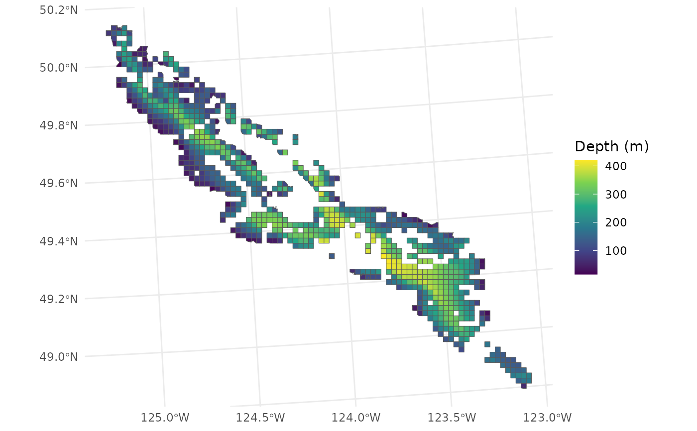
- depth_m
Depth in metres.
- active_block
Is block actively fished (all blocks in this dataset are active).
- area
Overwater area in km^2.
- geometry
Represents grid cell.
See also
load_survey_blocks for loading this dataset with additional options
(polygon, centroid, or coordinate formats).
Examples
requireNamespace("ggplot2", quietly = TRUE)
library(sf)
#> Linking to GEOS 3.12.1, GDAL 3.8.4, PROJ 9.4.0; sf_use_s2() is TRUE
library(ggplot2)
gfdata::sog_grid |>
  ggplot() +
  geom_sf(aes(fill = depth_m)) +
  theme_minimal() +
  scale_fill_viridis_c(name = "Depth (m)")

attr(gfdata::sog_grid, "date-generated")
#> [1] "2025-09-04"
attr(gfdata::sog_grid, "date-downloaded")
#> [1] "2025-09-04"
attr(gfdata::sog_grid, "date-generated")
#> [1] "2025-09-04"
attr(gfdata::sog_grid, "date-downloaded")
#> [1] "2025-09-04"