Survey blocks (grids) for DFO Pacific groundfish surveys including Synoptic (SYN) and
Hook and Line (HBLL) surveys. Obtained via gfdata::get_active_survey_blocks()
with some cleaning as documented in data-raw/survey_blocks.R.
Format
Simple feature (sf) collection with 66744 features and 7 fields:
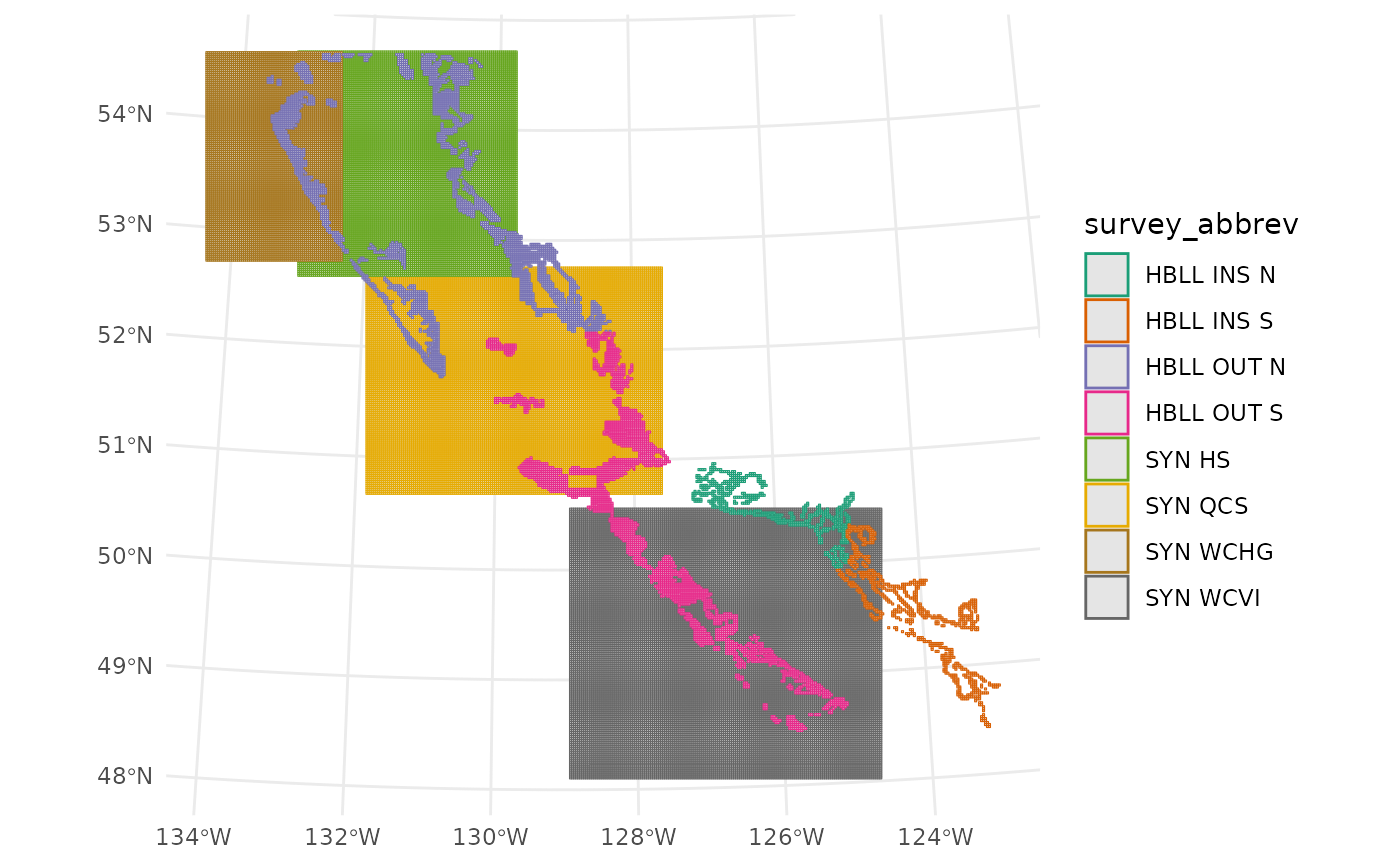
- survey_abbrev
Survey abbreviation. Includes:
SYN QCS: Synoptic Queen Charlotte SoundSYN HS: Synoptic Hecate StraitSYN WCVI: Synoptic West Coast Vancouver IslandSYN WCHG: Synoptic West Coast Haida GwaiiHBLL OUT N: Hook and Line Outside NorthHBLL OUT S: Hook and Line Outside SouthHBLL INS N: Hook and Line Inside NorthHBLL INS S: Hook and Line Inside South
- survey_series_id
Unique identifier for the survey series.
- block_id
Unique identifier for each grid cell (
BLOCK_DESIGNATIONin GFBioSQL).- grouping_code
Strata grouping code used to join with strata data from the GROUPING table in GFBioSQL.
- depth_m
Depth in metres.
- active_block
Is block actively fished as of date downloaded: e.g.,
attr(gfdata::survey_blocks, "date-downloaded"))- geometry
Represents grid cell.
- area
Overwater area in km^2.
See also
load_survey_blocks for loading this dataset with additional options
(polygon, centroid, or coordinate formats).
Examples
requireNamespace("ggplot2", quietly = TRUE)
library(sf)
library(ggplot2)
gfdata::survey_blocks |>
  dplyr::filter(active_block) |>
  ggplot(aes(colour = survey_abbrev)) +
  geom_sf() +
  theme_minimal() +
  scale_colour_brewer(palette = "Dark2")

attr(gfdata::survey_blocks, "date-generated")
#> [1] "2025-07-31"
attr(gfdata::survey_blocks, "date-downloaded")
#> [1] "2025-07-30"
attr(gfdata::survey_blocks, "date-generated")
#> [1] "2025-07-31"
attr(gfdata::survey_blocks, "date-downloaded")
#> [1] "2025-07-30"